Drone Topography & Mapping — Orthophotos and 3D Models
Topographic surveys, HD orthophotos and 3D models by drone in Burgundy. Volume calculations, land planning. Nièvre, Côte-d'Or, Yonne, Saône-et-Loire.
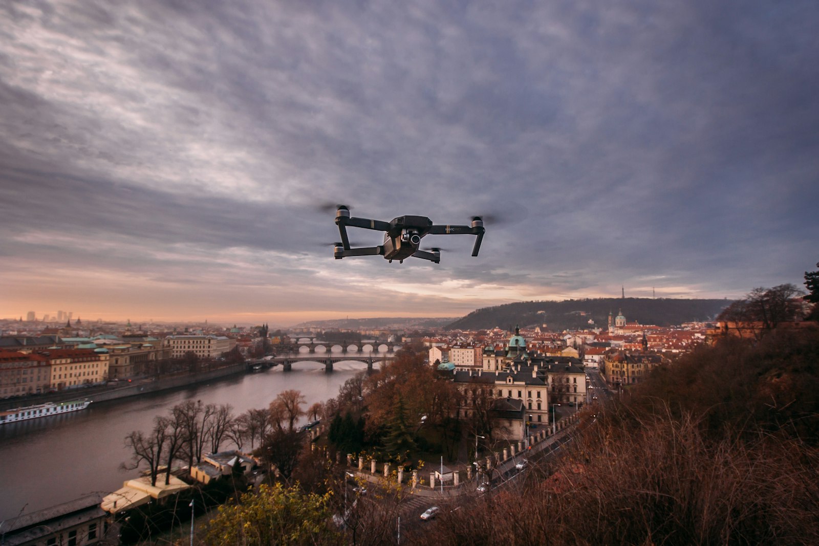
The DJI Matrice 4TD and its 48-megapixel wide-angle sensor produce orthophotos and point clouds with centimetric precision when combined with ground control points. In a few hours of flight, we cover surfaces that would take a surveyor several days to map on foot — with outputs directly importable into your GIS software (QGIS, ArcGIS, AutoCAD Civil 3D).
Why choose drone topography?
Compared to traditional ground methods, drone photogrammetry offers:
- Speed: 50 hectares surveyed in one flight day versus several weeks with a total station
- Total coverage: the drone captures every point on the surface without blind spots (subject to tree cover)
- Ready-to-use data: high-resolution orthophoto, DTM (digital terrain model), DSM (digital surface model) and 3D point cloud
- Controlled cost: no plant machinery, no road closure required
Concrete applications
Land development and urban planning
Topographic surveys for planning applications, housing development layout plans, environmental impact studies, local urban plan (PLU) revisions. Give your engineering firm an accurate, up-to-date base plan reflecting the latest ground conditions.
Quarries and earthworks
Volume calculations of cut/fill before and after extraction, monthly progress monitoring, mass balance for managing operating permits. A quarry orthophoto compared month-on-month gives a precise picture of earth movements.
Agriculture and plot management
Accurate mapping of plot boundaries, identification of waterlogged zones, drainage planning, surveys for irrigation system installation. In Nièvre, the complexity of historic land consolidation makes these surveys particularly valuable.
Construction site monitoring
Georeferenced visual documentation at each project milestone: comparison against plans, deviation detection, progress reporting for site meetings. A fortnightly overflight efficiently replaces time-consuming site visits.
Heritage and inventory
3D modelling of châteaux, religious buildings or archaeological sites for heritage conservation or restoration projects. Burgundy's wealth of listed monuments offers numerous applications.
Who is it for?
- Chartered surveyors looking to subcontract large area surveys
- Municipalities and intercommunal bodies for land asset management and planning studies
- Property developers during feasibility studies
- Quarry and gravel pit operators for regulatory volume monitoring
- Engineering and consultancy firms (civil engineering, hydraulics, environment)
- Farmers for precise management of their land holdings
When to intervene?
- Good visibility and sufficient light (avoid heavy cloud cover that reduces image resolution)
- Wind below 8 m/s to ensure drone stability and overlapping image quality
- Snow-free ground for topographic surveys (snow obscures the real terrain)
- Before and after works for volume calculations and site progress monitoring
Service area
We operate in Nièvre (58) and neighbouring departments: Yonne (89), Côte-d'Or (21), Saône-et-Loire (71), Allier (03), Cher (18) and Loiret (45).